Transportation Networks of
Locate South Georgia
Located between three International airports, with two-thirds of the U.S. population accessible by Class 1 railroads, and a modern network of highways, the region represented by Locate South Georgia is a logistics powerhouse. Moving people, product, and raw materials is easy and efficient in South Georgia.
Highways
More than 90% of Locate South Georgia’s region is within an hour’s drive of I-75 or U.S. 19, giving businesses close access to the Southeast’s deep-water ports, three international airports, and the capital cities of Atlanta, Montgomery, and Tallahassee. I-75 also intersects with U.S. Highways 82, 84, 280, 319, and 441 as well as I-10 (less than an hour from the Locate South Georgia region), providing an efficient network of roads that will take your products where they need to go. With its prime location and transportation network, South Georgia is your direct connection to the world.
Rail
South Georgia’s vast network of rail connects the region to the entire country. CSX Transportation is headquartered just across the border in Jacksonville, Florida, and operates a 21,000-mile network. Norfolk Southern also operates 20,000 miles of track, ready to move goods all along the Eastern Seaboard.
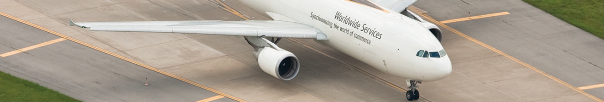
Air
Businesses in the Locate South Georgia region can choose between three nearby international airports: Atlanta, Jacksonville, and Tallahassee. There are also dozens of other excellent airports in the region with features such as onsite UPS sorting facilities, 6,000 + foot runways, and full cargo capabilities.
Ports
I-75’s connections to I-10 and I-16 put the region within easy reach of the Ports of Savannah, Brunswick, and Jacksonville. Additionally, rail service from the Inland Port at Cordele takes goods directly into the Port of Savannah, the nation’s single largest and fastest-growing container terminal.
.png)